


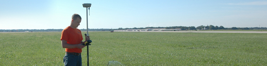

 Property Map
Exhibit "A" Property Map
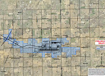
Click the map for a larger view.
The primary intent of the Exhibit "A" is to identify all that is designated airport property and to provide an inventory of all parcels that make up the airport. This work is being done in accordance with FAA Order 5100.38 and FAA Advisory Circular 150/5100-17.
This technical document provides an inventory of the land required for the SSA. It identifies the acreage and date of acquisition for each parcel as well as parcels yet to be purchased for the inaugural airport.
The Exhibit “A” produced in support of the South Suburban Airport Land Acquisition effort is available for reference in the archive below. After finding a section of interest on the map above, please select that section from the list below. All section maps are in Acrobat PDF.
- Exhibit A Cover Sheet and Key Maps (12.3M)
- Will 1-5 (12.9M)
- Will 6-10 (12.8M)
- Will 11-15 (13.7M)
- Will 16-17 (5.7M)
- Washington 4-6 (8.4M)
- Washington 7, 8, 17, 18 (10.5M)
- Monee 21, 25-29 (17.9M)
- Monee 31-36 (19.1M)
- Crete 29-33 (15.6M)
- Summary of Existing Airport-Owned Land (162K)

